- Small RCS drones and low-altitude clutter
- Mixed cooperative (ADS-B) and non-cooperative targets
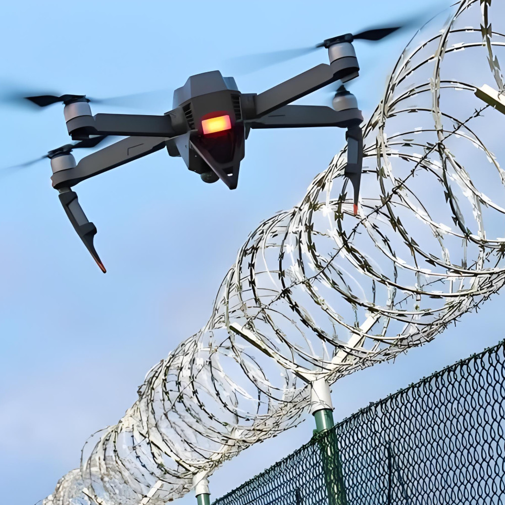
- Dynamic geofencing and evolving regulations
Airspace Management
Low-altitude airspace awareness for drones and light aircraft: detection, tracking and geofencing.
Industry Challenges
Context
The growth of drones and low-altitude aircraft increases the need for persistent airspace awareness around cities, airports, ports and industrial zones.
System Concept
- Radar detects non-cooperative aerial targets; ADS-B adds cooperative tracks.
- Tracks fuse into a common air picture with alerts for geofence violations.
- C2/UTM interfaces disseminate advisories to stakeholders and responders.
[Design] --> [Integrate Sensors] --> [Detect & 3D‑Track] --> [ID/Classify] --> [Geofence Enforce] --> [Handover/Audit]
Advantages
Low-altitude Coverage
Detect sUAS and light aircraft in the low-level airspace.
3D Tracking
Maintain position, speed and altitude across sectors.
Geofences
Dynamic keep-in/keep-out zones with graduated responses.
Common Air Picture
Unify tracks with ADS-B and network feeds on a single map.
Open Interfaces
Integrate with UTM/ATM, C2 and incident systems.
AI Aided
Classify aerial targets and reduce false positives.
Workflow
- Airspace DesignDefine low‑altitude volumes and no‑fly zones around protected sites.
- Sensor IntegrationDeploy radars and fuse cooperative feeds (ADS‑B/UTM) into one picture.
- 3D DetectionDetect sUAS/light aircraft and maintain 3D tracks across sectors.
- ID & ClassificationDifferentiate drones/birds and friend/foe; apply alerting policies.
- Geofence EnforcementRaise alarms on zone/altitude violations and route advisories.
- Handover & AuditHandover to C‑UAS/ATC; retain logs for compliance and review.
Key Use Cases
- Urban low‑altitude drone monitoring around hospitals, campuses and stadiums
- Airport perimeter/no‑fly enforcement with automated incident logging
- Industrial complex UAV exclusion for refineries, ports and power plants
- Temporary geofencing for large events and VIP movements
- Critical infrastructure UAV detection with C‑UAS handover
Further Reading


WhatsApp

WeChat
Have questions about products or solution design?
Connect with our experts for fast assistance, personalized advice, and the most effective radar solutions for your security challenges.
Po Hu
International Sales Director
We safeguard every domain — land, sea, and air — through intelligent radar and integrated situational awareness.
WhatsApp
WeChat