LiDAR
Lidar Technology: Analysis of the Five Core Advantages in the Security Field
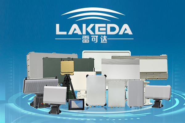
Lakeda’s laser security radar enhances the efficiency of security systems and reduces false alarm rates with its high-precision 3D imaging, adaptability to various environments, and real-time target tracking capabilities. It can also integrate with multiple sensors to build an intelligent protection system.
Leer másDrone Radar Mapping System: Comprehensive Analysis of Application Fields and Industry Guide
This article systematically analyzes drone LiDAR (Light Detection and Ranging) technology, detailing its principles of generating high-precision 3D models through laser mapping. It also highlights its innovative applications across eight major fields, including agriculture, mining, power inspection, and archaeology, demonstrating its value in efficient surveying and digital transformation.
Leer másDrone Radar Mapping Technology: A Comprehensive Analysis of Efficient and Accurate Detection Applications
Drone detection radar is widely used in the surveying and mapping field due to its highly efficient and precise data collection capabilities. Utilizing LiDAR technology, it penetrates vegetation and generates high-precision models, making it extensively applicable in transportation, power, marine, and emergency surveying. It significantly enhances engineering efficiency and data reliability, becoming an indispensable tool in modern surveying and mapping.
Leer más
Top Ten Application Fields of Drone Detection Radar, How Many Do You Know?
Drone Detection Radar (LiDAR) efficiently achieves three-dimensional mapping by emitting laser pulses and precisely measuring the reflection time. It is widely applied across eight major fields, including accident forensics, agriculture and forestry, power inspections, topographic surveying, and archaeological excavations, significantly enhancing data accuracy and operational efficiency.
Leer másDrone Detection Radar: A Comprehensive Analysis of Principles, Technologies, and Applications
This article provides a systematic analysis of drone LiDAR technology, covering its working principles, classifications (such as pulsed and phase LiDAR), and application scenarios. Through laser ranging, multi-line scanning, and GPS/IMU integration, it achieves high-precision 3D mapping, making it suitable for fields such as geographic information, construction, and disaster monitoring.
Leer másHow Effective is Drone Radar Mapping? An Analysis of the Five Major Advantages of Real-Scene Modeling
The drone detection radar system (LiDAR) accurately acquires three-dimensional surface information by emitting and receiving laser pulses. Unaffected by weather conditions, this technology can penetrate vegetation and efficiently generate high-precision terrain data, making it widely applicable in fields such as mapping, exploration, and geographic information.
Leer más